|
3.1.2.1 Vector, Imagery and Hybrid Maps
|
 
|
|
3.1.2.1 Vector, Imagery and Hybrid Maps
|
|
1.
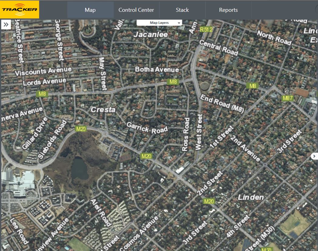
The Map
Layer selection display vehicle positions in street format when selecting:
i. Imagery
ii. Vector
iii. Hybrid
iv. Traffic Heat Map
v. Traffic Congestion
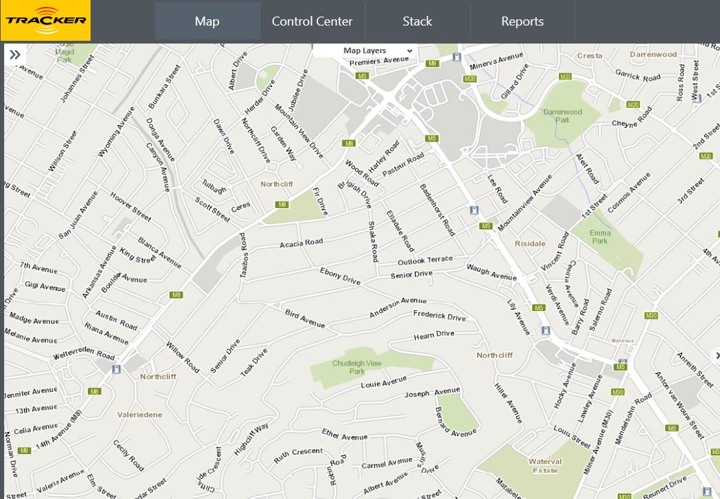
Vector Map
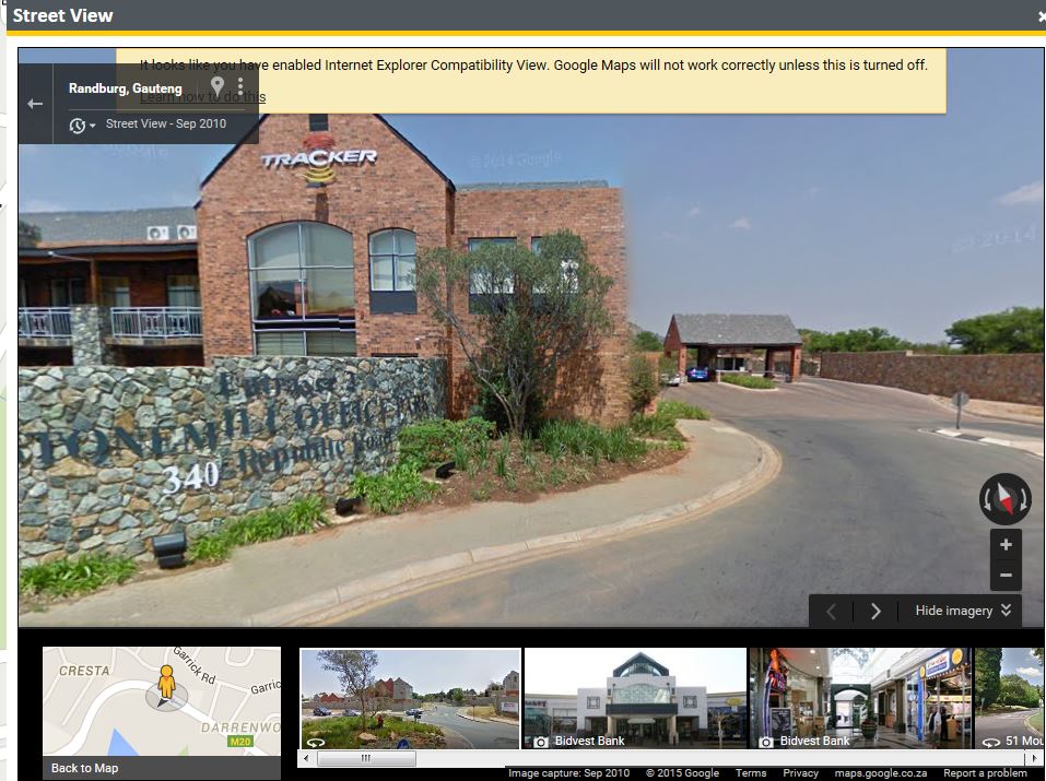
2. Google Street View has now been introduced to Empower.
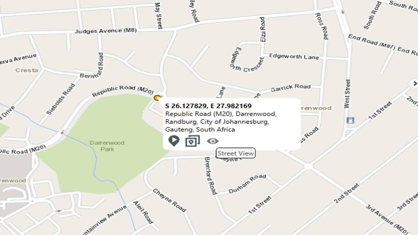
Google Street View can be accessed by right clicking on the map and then clicking the eye icon.
3. To switch on the Traffic Heat map, select the tick box in the Map Layers section. A heat map will appear on the current map. In the Tools section a colour legend will indicate the traffic speed.
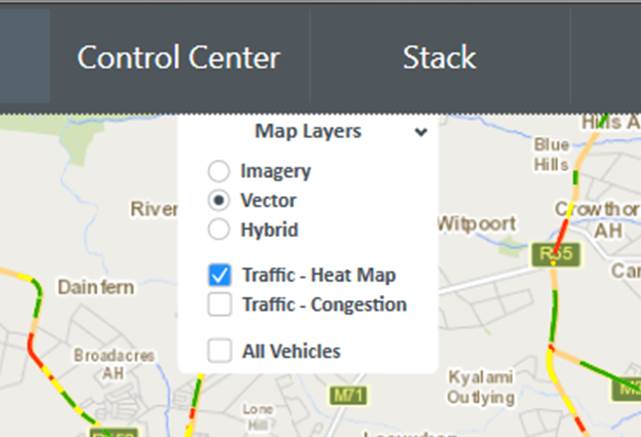
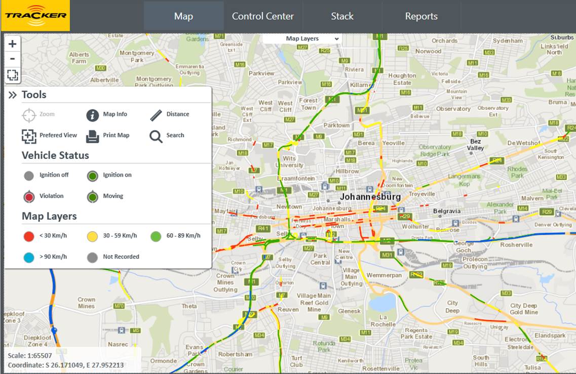
Traffic - Heat Map